
Topographic Survey – Uses
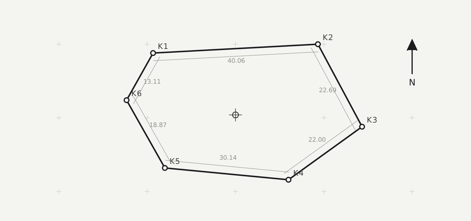
A topographic survey is, among other things, an essential drawing that accompanies the contract of every property, whether an apartment or a plot of land. It is a survey of the land containing the property. A topographic survey helps clarify ownership and calculate parcel boundaries, establishing the dimensions and areas of properties.
For parcels outside the urban plan in particular, the situation is demanding. Greece had no cadastre in previous decades (with few exceptions). The surveys prepared by engineers recorded the property dimensions indicated by the owners. Often, however, the boundaries were transient or unclear, so disputes over property boundaries grew over time.
There were — and are — methods of georeferencing plots of land to fixed points across Greece, mainly on mountain tops. An engineer could tie a property into this network using specific methods. However, this process was laborious, time-consuming and costly, and could contain errors, so most of the time it was not done. The state did not require a formal procedure for fully defining property either, while over time new georeferencing systems were introduced and the situation became complicated.
Topographic survey for the Cadastre
To register properties in the National Cadastre, the preparation and issuance of a topographic survey is essential. The survey must determine the position and boundaries of the properties on the cadastral maps.
The owner is required to provide sufficient information to make it possible to determine the position and boundaries of the declared property on the cadastral maps.
If a topographic survey exists, it must be submitted. The most reliable way of locating and determining a property's boundaries is a modern georeferenced topographic survey, with X and Y coordinates in the National Coordinate System (EGSA 87) used by the National Cadastre.
Submission of a topographic survey is essential when:
- it is referenced in or attached to the property's title deed
- adverse possession is invoked as the cause of acquisition of the property
- a building permit has been issued for the property
- a survey has already been prepared for any other use (e.g. building legalization, corrective implementation act, etc.)
For more information, please contact us. Contact →